We are delighted to welcome Luca Torchia, a PhD student from La Sapienza University of Rome (Italy), to the Cultural Geo-Analytics Lab for a research visit from September to December 2025. Luca, trained as a sociologist, is currently pursuing his doctorate in economic geography at the MEMOTEF Department of La Sapienza under the supervision of … Continue reading New visiting PhD student: Luca Torchia
Tag: geographic data science
New visiting PhD student at the lab: Laura Dunn 📊🚌
We are delighted to welcome visiting PhD student Laura Dunne (University College Dublin, Ireland) to the Cultural Geo-Analytics Lab at King’s College London for a research visit from February to May 2025. Under the supervision of Andrea Ballatore, Laura will be advancing her PhD research on optimizing bus networks using machine learning, with a focus … Continue reading New visiting PhD student at the lab: Laura Dunn 📊🚌
Digital Placemaking & Soft City Sensing 🌆📊
Very happy to be part of this amazing research network led by Prof Anders Koed Madsen of Aalborg University (Denmark)! Original announcement from Anders (source): I am really grateful that Independent Research Fund Denmark have awarded me a grant to lead an explorative explorative academic network on: ⚡ 'Digital Placemaking & Soft City Sensing' ⚡The network will … Continue reading Digital Placemaking & Soft City Sensing 🌆📊
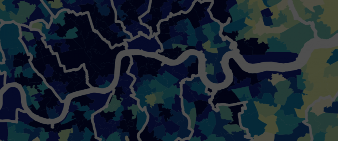
Classifying outdoor walking with Ordnance Survey data
This new open-access article on leisure walking in Britain stems from a collaboration with the Ordnance Survey [see pdf]. Title: "The context of outdoor walking: A classification of user-generated routes" Authors: Andrea Ballatore, Stefano Cavazzi, Jeremy Morley Publication: The Geographical Journal Abstract. Leisure walking has known benefits to public health, from both physical and psychological … Continue reading Classifying outdoor walking with Ordnance Survey data
Charting the geographies of heritage with data science • UCL • 26 Jan 2023
I will give the next online research talk at University College London 🏛️ in a series of events organised by the UCL Institute for Sustainable Heritage. Title: "Cultural Geo-Analytics: Charting the geographies of heritage with data science" ⏱️ When: 26 January 2023, 5:30 pm–6:30 pm 🌐 URL: https://www.ucl.ac.uk/bartlett/heritage/events/2023/jan/cultural-geo-analytics-charting-geographies-heritage-data-science
Research talk at ENS in Lyon, France • 8 Dec 2022
A new research talk, this time in France 🇫🇷: Notre collègue Denis Vigier coordonne la deuxième édition du cycle de conférences Extraction, traitement et visualisation de données complexes en géographie (XVIIIe siècle – XIXe siècle), organisées à l’ENS de Lyon et financées par l’Institut Rhônalpin des systèmes Complexes (IXXI). Il est adossé au projet GEODE du LabEx ASLAN. Photo by Negative Space … Continue reading Research talk at ENS in Lyon, France • 8 Dec 2022
Mapping museums in the UK
This article, written with museum guru Fiona Candlin, is the culmination of years of tortuous data collection and analysis and outlines a detailed quantitative geography of UK museums. It's available open access in the Transactions of the Institute of British Geographers. All the data and resources are freely available on GitHub. Abstract: Museums are important centres … Continue reading Mapping museums in the UK
Plotting film toponyms: A study in cultural geo-analytics
My colleagues Stefano De Sabbata, Daniel Chavez Heras, and I have a new short paper out, accepted for Spatial Humanities 2022. After many years of rumination, we have finally started doing some geospatial analytics on film data, which I find very exciting. 🎬🗺📈 Abstract: Films are deeply geographical. Externally, they are produced in places, across … Continue reading Plotting film toponyms: A study in cultural geo-analytics
Video • Demarcating place in cultural geo-analytics
Here's the recording of my ISPRS webinar with Prof Skupin: Abstract: Cultural geo-analytics (CGA) studies the geographical dimension in the production and consumption of cultural objects, relying on digital data and spatial methods. Given the conceptual and empirical centrality of place in CGA, I will outline the main challenges and desiderata in place representation, addressing … Continue reading Video • Demarcating place in cultural geo-analytics
[CfP] GIScience 2021 workshop: Three cultures
Because of Covid, GIScience 2020 has been postponed to 2021. We will communicate the new deadline for this workshop as soon as possible. GIScience 2020 2021 Workshop The social, the science and the humanities: Bridging three cultures of geographic information in the pandemic Workshop date & location: September 15, 2020 -- Poznań, Poland Submission deadline: … Continue reading [CfP] GIScience 2021 workshop: Three cultures
