The recent publication of a data paper in the Journal of Open Humanities Data highlights the significance of data-focused academic outputs. It stresses the importance of the FAIR principles and recognises the scholarly contribution of data curation, separating it from analysis. This type of paper gives due credit for rigorous data management.
Category: publications
Closed museums and what happened to their collections (2000-25)
After two years of research, the Museum Closure project report highlights significant trends in UK museum closures from 2000 to 2025. It reveals stark regional differences, with London gaining museums but losing council-run ones, while Scotland faced the most closures. Independent museums are replacing traditional institutions, though not fully compensating for losses.
Mapping Meaning in Latin with Large Language Models
Our PhD student Andrea Farina will present his latest research at CLiC-it 2025: Eleventh Italian Conference on Computational Linguistics. The paper "Mapping Meaning in Latin with Large Language Models", co-authored with me and Barbara McGillivray, focuses on preverbed motion verbs (like exeo “exit” or ineo “enter”) and spatial relations, important linguistic features that encode movement, … Continue reading Mapping Meaning in Latin with Large Language Models
From notes to models: Leveraging LLMs for museum closure data
Our postdoc George A. Wright will present our latest research at the International Conference on Theory and Practice of Digital Libraries (TPDL 2025). In the paper “From Notes to Models: Leveraging LLMs for Museum Closure Data”, we explore how large language models (LLMs) can support researchers in transforming unstructured notes into usable data models. This … Continue reading From notes to models: Leveraging LLMs for museum closure data
Charting cultural events on Eventbrite
Here's a new paper led by our PhD student Yue Wang, to be presented at GISRUK 2025 in Bristol! 🌎 🎹🎭 Abstract: This study explores the spatial and temporal heterogeneity of cultural life by investigating the dynamics of cultural events in Greater London. We leverage over 50,000 data points retrieved from Eventbrite to analyse the … Continue reading Charting cultural events on Eventbrite
Place ratings: platforms, effects, discontents ⭐️⭐️⭐️⭐️⭐️
Everywhere we go, we’re asked to rate our experience—5 stars for a coffee, a thumbs-up for a park, or maybe just a smiley face at the toilet. Place ratings have become a routine part of digital life, quietly shaping how we navigate cities, choose destinations, and perhaps even how we evaluate the world around us. … Continue reading Place ratings: platforms, effects, discontents ⭐️⭐️⭐️⭐️⭐️
How the pandemic changed what we eat and drink: A look at food purchases in England
New journal article out in Public Health Nutrition led by Alexandra Kalbus, from her PhD co-supervised at the London School of Hygiene and Tropical Medicine. [open access article] 📄📊🍔😷 Reference: Kalbus A, Cornelsen L, Ballatore A, Cummins S. (2024) Changes in food and drink purchasing behaviour in England during the first three months of the … Continue reading How the pandemic changed what we eat and drink: A look at food purchases in England
Eating during the English lockdown
New journal article out in Plos ONE led by Alexandra Kalbus, from her PhD co-supervised at the London School of Hygiene and Tropical Medicine. [open access article] 📄📊🍔😷 Reference: Kalbus AI, Cornelsen L, Ballatore A, Cummins S (2024) Associations between the neighbourhood food environment and food and drink purchasing in England during lockdown: A repeated … Continue reading Eating during the English lockdown
Museums’ Online Responses to the COVID-19 Pandemic
New open-access journal article in the realm of museum analytics from the Museums in Pandemic project 🏛️. 📜 Andrea Ballatore, Valeri Katerinchuk, Alexandra Poulovassilis, and Peter T. Wood. 2024. Tracking Museums’ Online Responses to the COVID-19 Pandemic: A Study in Museum Analytics. ACM Journal of Computing and Cultural Heritage. 17, 1, Article 2 (2023), 29 pages. … Continue reading Museums’ Online Responses to the COVID-19 Pandemic
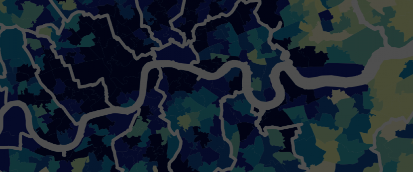
Enter the Facebook City
New open-access journal article on urban/spatial social media from the Local Content Governance project 🌍📈🌆! 📜 Ballatore, A., Rodgers, S., McLoughlin, L., & Moore, S. (2024). Facebook city: Place-named groups as urban communication infrastructure in Greater London. Environment and Planning B: Urban Analytics and City Science. DOI:10.1177/23998083231224136 [web] [pdf] Figure 1: Distribution of groups and … Continue reading Enter the Facebook City
