PI: Andrea Ballatore, Birkbeck, University of London, funded by Ordnance Survey (£40,000), 2019-20
![]()
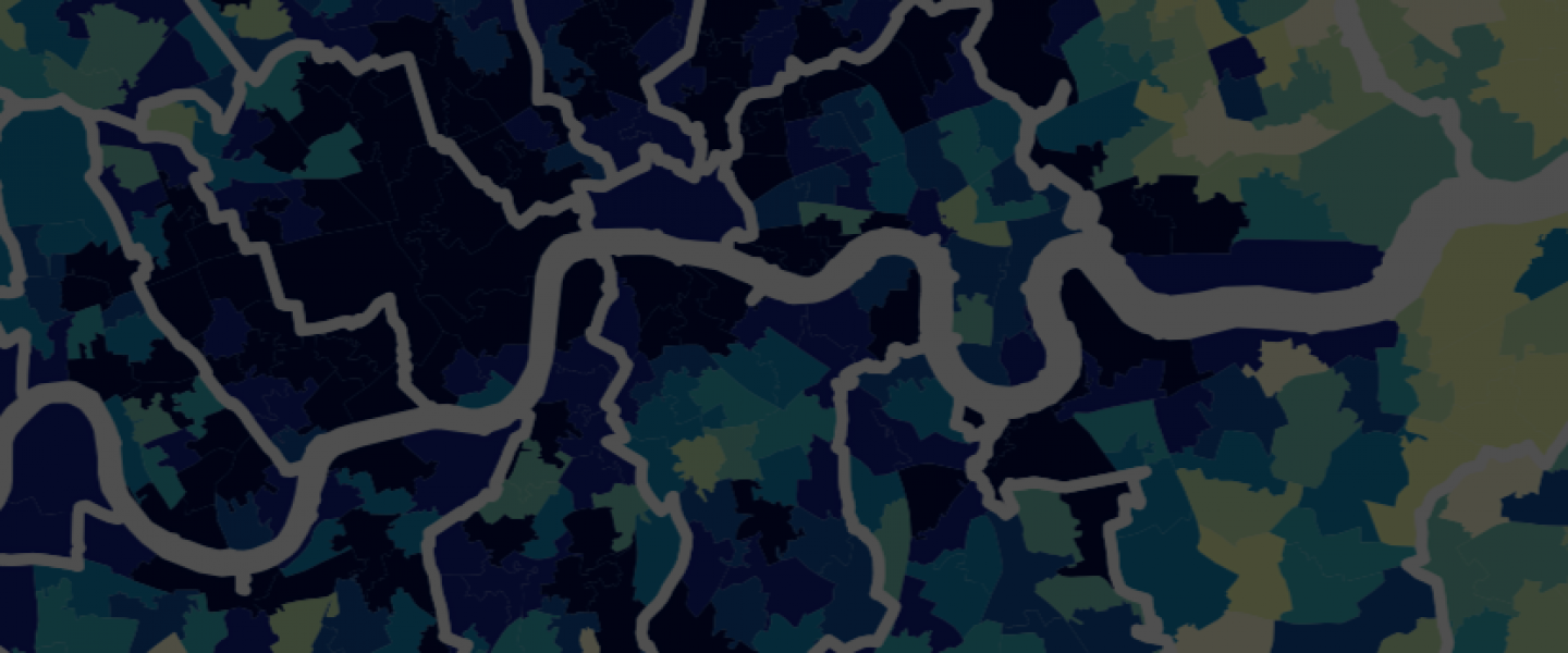
Summary. This project will develop a framework for the search and recommendation of places. Unlike entities with clear boundaries, places such as neighbourhoods and towns are configurations of geo-located objects with fuzzy and arbitrary borders. Existing similarity search approaches have been optimised to support the retrieval of individual objects, such as images, restaurants, and products, but, to date, not for complex aggregates of entities, such as places. This project has two aims: (1) Develop a search method to, given a user-defined geographic area as a query and a set of dimensions, identify and recommend similar areas at a suitable scale. (2) Develop an approach to quantifying the “uniqueness” of geographic areas with respect to the dimensions of interest. Uniqueness is quantified as the inverse probability of a given configuration to appear in the territory, on a scale from rare to common. Dimensions can include any observable aspect of a target area, such as the percentage of green space, type of buildings, and land use. Use cases will be selected in the OS GetOutside initiative, which encourages citizens to engage with the outdoors. The approach will enable users to explore the British landscape in a novel way, highlighting to what extent areas are similar to other areas or unique. For this reason, the similarity and uniqueness computation will be based on the spatial and thematic configuration of landform and points of interest (POIs), which are central to outdoors activities.
