Here is a new conference paper with my colleagues Hamidreza Rabiei Dastjerdi and Gavin McArdle on the use of crowdsourced geospatial data for social science research at GISTAM 2020.
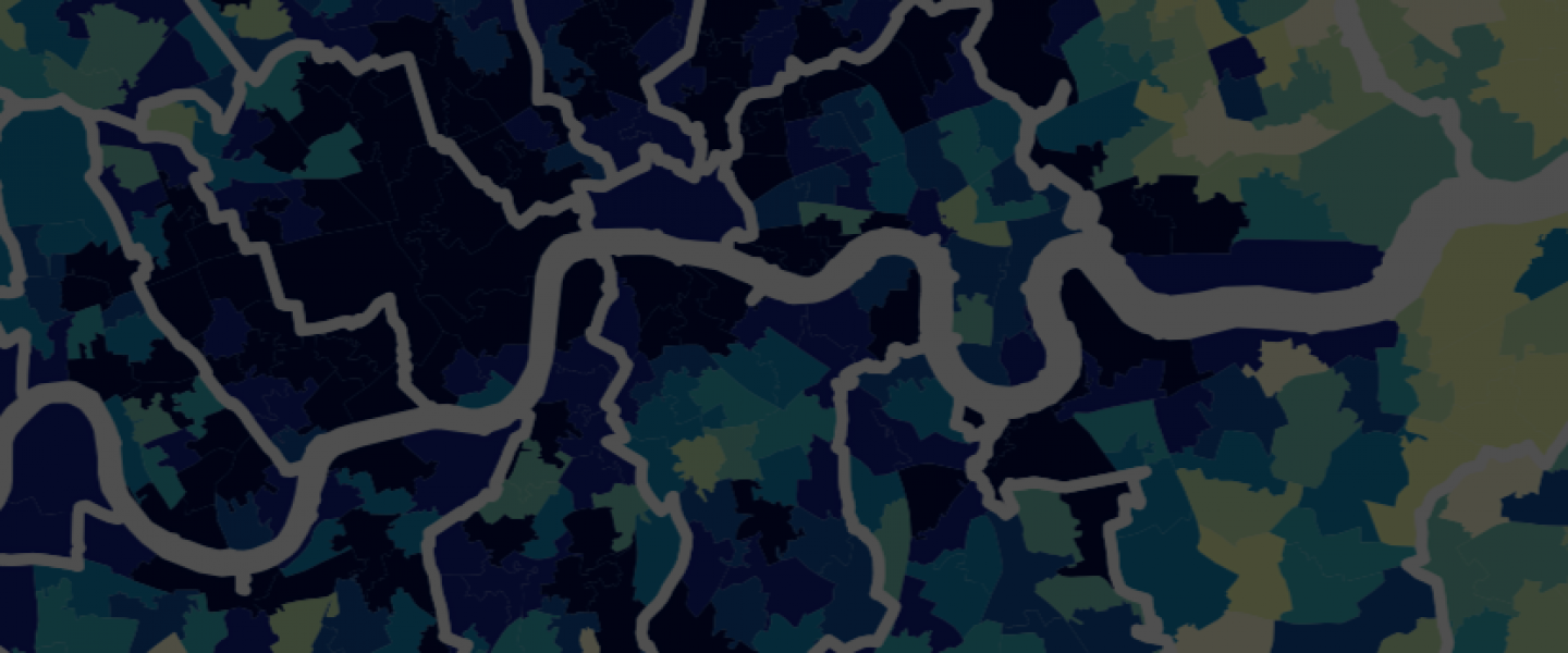
Abstract. Citizen consumption refers to the goods and services which citizens utilise. This includes time spent on leisure and cultural activities as well as the consumption of necessary and luxury goods and services. The spatial dimension of consumption inequality can show the underlying urban spatial structure and processes of a city. Usually, the main barrier to effectively measuring consumption is the availability and accessibility of spatial data. While the main body of the literature utilises official, government data, such data is not always available, up-to-date or can be costly to acquire. In this paper, we discuss the potential of Volunteered Geographic Information (VGI) as a source of spatial data for determining consumption inequality. To this end, we compared OpenStreetMap (OSM) data, that can be used as proxies for consumption inequality, with official data in the area of Greater London. The results show that OSM is currently inadequate for studying the spatial dimension of consumption. It is our view that while VGI is appropriate for tasks such as routing and navigation, it also has the potential to add value to social science studies in the future. [read the article in pdf]
Reference: H. Rabiei-Dastjerdi, G. McArdle, & A. Ballatore (2020) Urban Consumption Patterns: OpenStreetMap Quality for Social Science Research. GISTAM 2020, 6th International Conference on Geographical Information Systems Theory, Applications and Management. Prague.
